blah blah blah
Gap Mountain
Length: 2.8 miles out-and-backDifficulty (click for info): Easy
Elevation Gain: 740 feet (+80 feet on return)
Rating (click for info): 6/10
Elevation: 1899'
Prominence: 550'
Driving Directions:
Parking area and trailhead are located on Bullard Road in Jaffrey, NH (summit is in Troy). Bullard Road leaves the south side of Rt. 124 6.0 miles west of Rt. 202 in Jaffrey and 6.4 miles southeast of Rt. 101 in Marlborough. This is also 0.9 miles west of the Old Halfway House Trailhead for Mt. Monadnock. The parking area is located 0.5 miles down Bullard Road, on the left. Click here for a Google map.
About the Hike:
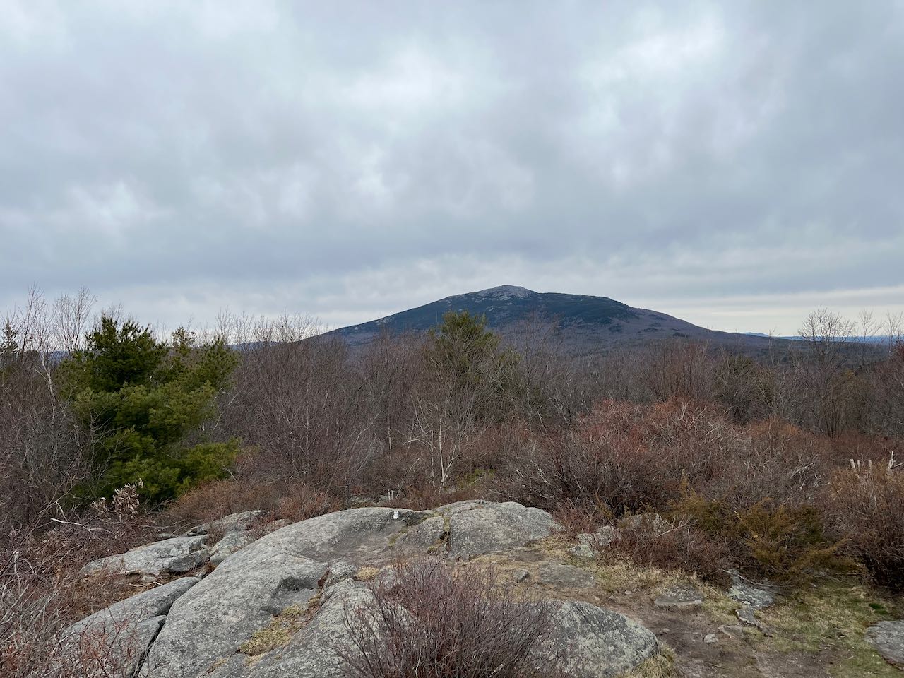
Low, rolling Gap Mountain, named for the shallow but stark notch between its two significant summits, offers one of the closest and best views of Mt. Monadnock to be found. The brushy clearings over the two knobs on the mountain's lower north summit flourish with blueberries and eulogize the bygone era when pastureland bared the hills. Vestiges of the mountain's history, in stonewalls, retired roads, and the tangled remnant of an orchard, provide visitors with a self-guided tour. The trail to the summit serves as one of the final northbound segments of the long-distance Metacomet-Monadnock Trail, which stretches from the Connecticut-Massachusetts state line to Mt. Monadnock.
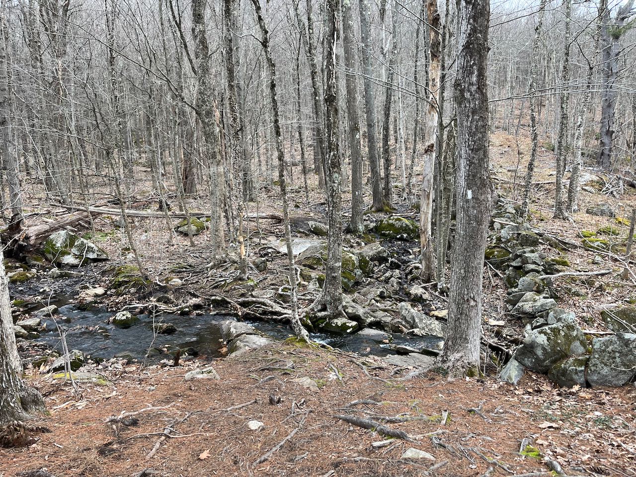
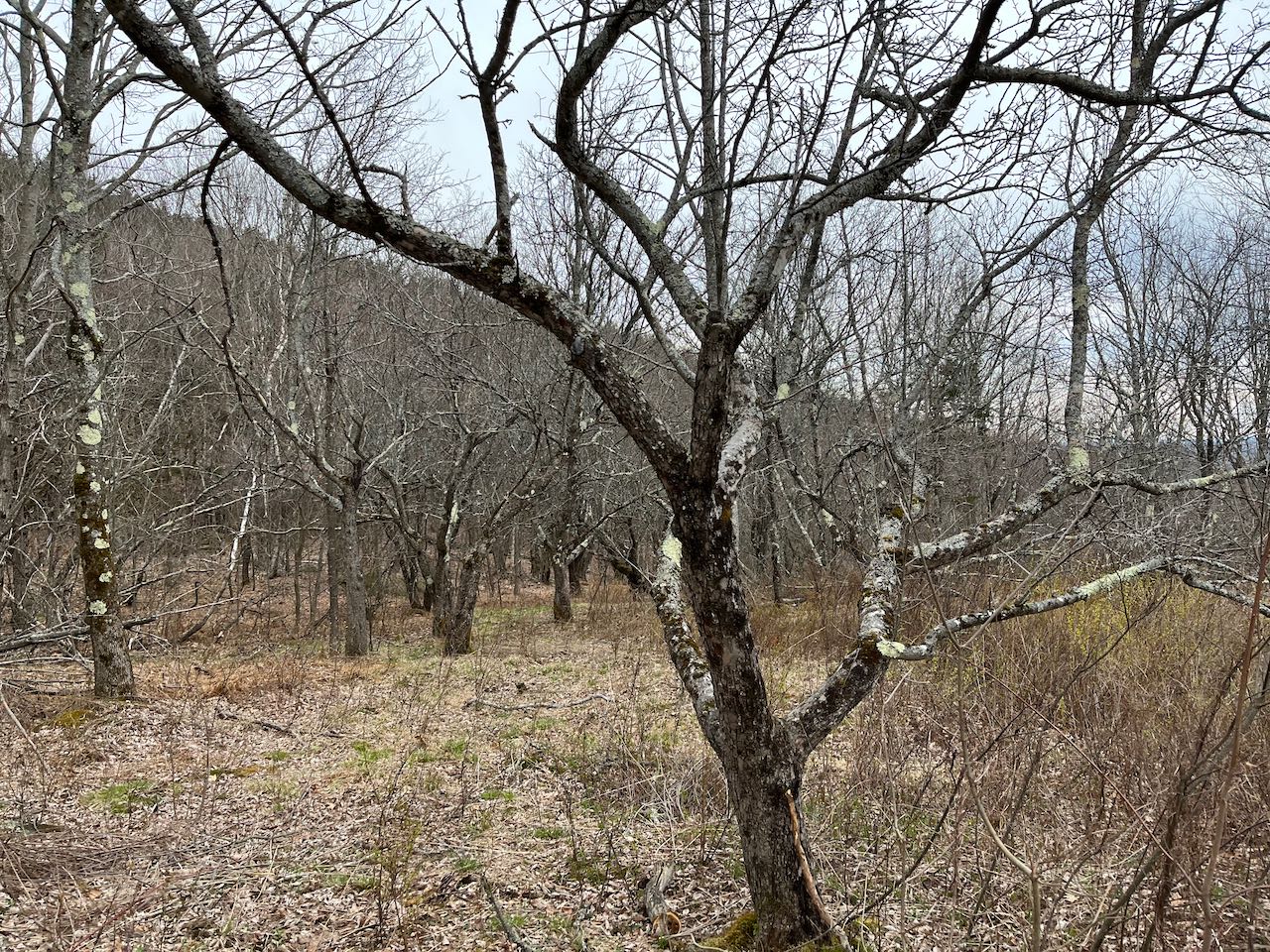
From the kiosk at the parking area, cross the miniature boardwalk and bear right at an unmarked fork onto the southward M-M Trail (the other way is the same trail heading north to cross Route 124 toward Monadnock). The trail sets out across the hillside, merges with a shortcut back to Bullard Road, and crosses the old Gap Mountain Road about 0.2 miles from the fork. Soon the trail steps across a small brook flowing beneath a stone wall and ascends past logged clearings on the downhill side. In 0.15 miles from the old road, the pathway swings right and hugs another stone-walled property line, reaching a trail junction in another 0.1 miles. Bear left here as the alternate Donovan Trail goes to the right down to Old Mill Road. The trail now begins to climb a bit, passing overhanging ledge bands and winding up on carefully crafted stone stairs. In 0.35 miles, the trail reaches a flat spot where a spur leads to the right a short way to a limited viewpoint in the midst of an old orchard. The main trail turns left and weaves upward through more ledges and stone walls, soon transitioning into an area of low brush. In 0.3 miles the semi-open northernmost knob of Gap Mountain is reached, where there are restricted views. Turn around to see your first look at looming Mt. Monadnock.
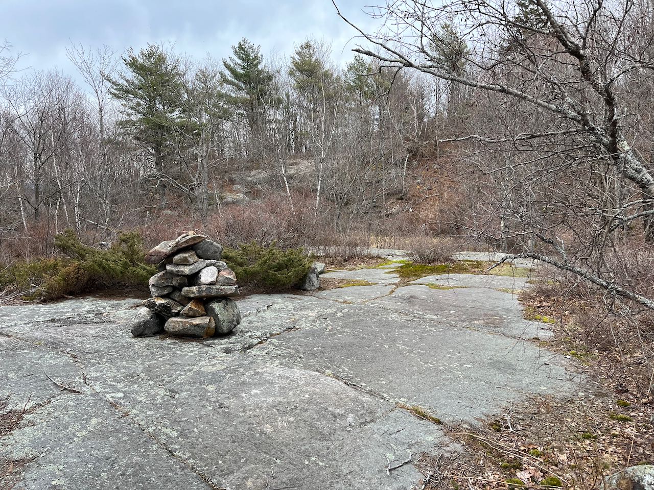
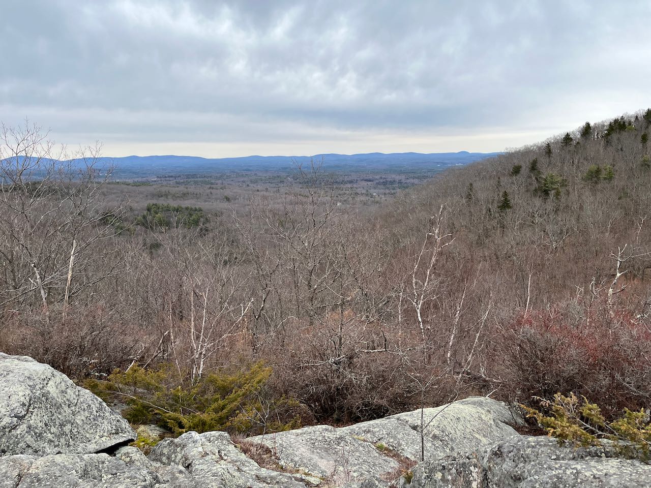
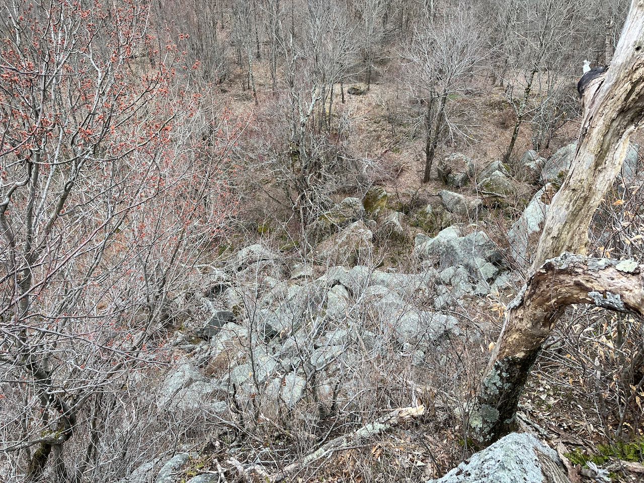
The trail tunnels through the thick vegetation and then makes a quick drop across a long ledge ramp back into the forest, then ascends briefly to the proper north peak of Gap Mountain, after 0.2 miles. The higher southern peak rises above you. There are no views over there, so this lower summit is much to be preferred. There are fine views of the Monadnock Region in two directions. A clearer view of Mt. Monadnock is had to the northeast. Your horizon right of Monadnock, from the east to southeast, is made up of the Wapack Range, from the Pack Monadnocks all the way down to little, rounded Mt. Watatic. On the other side of the south summit, the view stretches into Massachusetts, including isolated Mt. Grace with its fire tower to the southwest, beside much nearer Little Monadnock Mountain. To the west, the view extends into Vermont, with a number of the Green Mountain ski areas visible. On clear days, Massachussets state highpoint Mt. Greylock can be found by those who know where to look. By exploring around the far side of the summit clearing, you can find a short path leading to a perch over the eponymous "gap", with an impressive look over the sheer drop and talus piles at the bottom of the notch.
Trail Map
Printable directions page